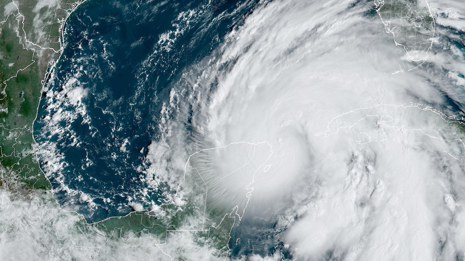
Helene, currently a Category 1 hurricane, is forecast to make landfall between 8 p.m. and 11 p.m. Thursday as a major Category 3 hurricane.

Helene is a large storm, so it could bring life-threatening storm surge for the entire West Coast of the Florida Peninsula.
The worst of the storm surge — up to 18 feet — is expected in Florida’s Big Bend area, where Helene’s set to make landfall.
The Tampa Bay area could see up to 8 feet of storm surge; coastal flooding is possible as far south as Fort Myers and Naples.

After Thursday night’s landfall, Helene will bring heavy rain and high winds to the inland Southeast.
Flash flooding is a risk from the Florida Panhandle up to Asheville, North Carolina, and the Appalachians through Friday.

Five to 10 inches of rain is in the forecast, with 15 inches projected locally.
-ABC News’ Melissa Griffin